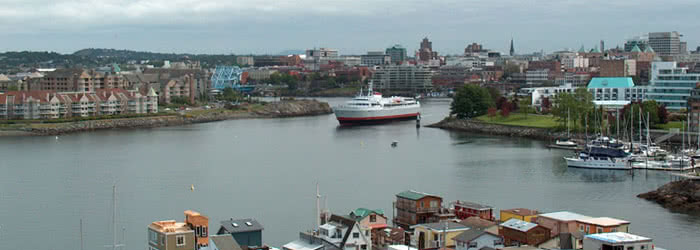
Victoria, BC, Canada
- The Capital City of British Columbia
- Victoria has the best all round climate in Canada
- Pop: Victoria: 86,000 – Greater Victoria: 383,000 (2019)
Victoria is the capital city of British Columbia, Canada, and is located on the southern tip of Vancouver Island about 100 km (62 mi) from BC’s largest city of Vancouver on the mainland. Victoria is close to the United States, about 100 km (62 mi) from Seattle by airplane or ferry and 40 km (25 mi) from Port Angeles, Washington by ferry.
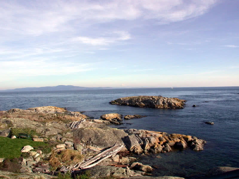
Vancouver Island
- Some of the best boating waters in North America
- Largest island on the North American West Coast
- 12,408 square mi (32,134 square km)
- 282 mi (454 km) long
- 62 mi (100 km) wide
- 2,150 mi (3,440 km) of coastline
- 1,550 mi (2,480 km) of shoreline on nearby islands
- 24 mi (38 km) from mainland British Columbia
- 70 mi (113 km) from Seattle, Washington
- Population approximately 775,300 (2018)
Distances from Vancouver Island (via Ferry)
- Victoria to Seattle: 113 km (70 mi)
- Victoria to Port Angeles: 32 km (20 mi)
- Sidney to Anacortes: 58 km (36 mi)
- Swartz Bay to Tsawwassen (Vancouver): 39 km (24 mi)
- Nanaimo to Vancouver: 58 km (36 mi)
- Comox to Powell River: 40 km (25 mi)
- Kelsey Bay (north of Campbell River) to Prince Rupert: 531 km (330 mi)
Maps, Links and Resources:
- Detailed map of Downtown Victoria
- Try our new Marine Resouces page
- City of Victoria web site
- General Information and Maps
- Regional Links page
- Victoria weather forecast
- Pacific Northwest area map (pdf)
- Vancouver Island map (pdf courtesy of BC Ferries)
- Vancouver Island map #2
Parks & Recreation:
PETER NASH